The present land of the Mizos, Mizoram is a mountainous region, which became the 23rd State of the Indian Union in February 1987. Formerly, it was known as, “the Lushai Hills’’ district of Assam until it became a Union Territory in 1972. This land lies in the southernmost corner of North East India and is the abode of the Mizos. Area wise it ranks 18th in the Indian Territory, with 21,081 sq km. The length of the geographical area of the State, stretching north to south is 277 km, while the width from east to west is 121 km. It shares its boundaries with three states of Indian Union- Assam, Tripura and Manipur, which extended over 95 km.
It has a total of 630 miles (722 Km.) international boundary with Burma and Bangladesh. It is bounded on the east by the Chin Hills of Burma, on the south by the Arakan Hill Tracts of Burma; on the west by the Chittagong Hill Tracts of Bangladesh and Tripura state of India; and on the north by the Cachar district of Assam and the Manipur state. It lies just within the tropics between Latitude 21.58o to 24.35o north and Longitude 92.15o to 93.29o east. Mizoram on the whole, has a pleasant and agreeable climate. Tropic of Cancer passes through the heart of the land and it is neither very hot nor very cold. In summer, the temperature varies between 20oC to 29oC and nor very cold in winter between 11oC to 21oC. It is observed that the entire area is under the direct influence of the monsoon. It rains heavily between the months of May and September and the average rainfall is 254 cm per annum.
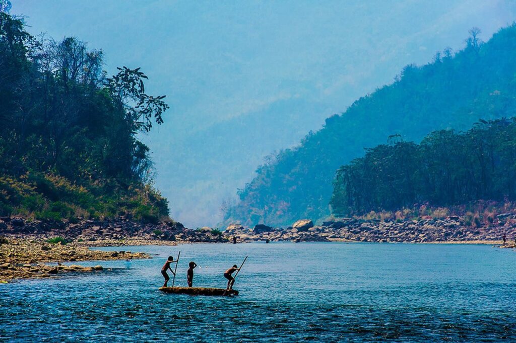
Mizoram, land of the blue mountain, is the southern-most outpost of the North East states. Neighbours Manipur, Assam and Tripura bound this tranquil little state which primarily lies nestled between Myanmar and Bangladesh. Evergreen and flush with blooms of exotic flora, its hilly expanses are criss-crossed by a network of turbulent rivers and a cobweb of silvery streams.
The richly forested Mizo Hills with their thick bamboo jungles running north to south, rise sharply from the Cachar Plains in Assam. Highest amongst its several peaks is the Phawngpui – The Blue Mountain. Rice is grown in the few plain areas in the state such as the Vanlaiphai and the fertile Champhai Plains east of the capital Aizawl.
In the absence of any known recorded history, oral tradition reveals that the Mizo people migrated from their homelands in China about three centuries ago in search of new pastureland and settled in the remote Mizo Hills also known as Lushai Hills. Mizoram was absorbed into British lands during the Raj between 1891 and 1895. From the 19th century onward, Christian missionaries played a dominating role in the state and were greatly responsible for its westernization. In February 1987, Mizoram became the 23rd state of the Indian Union. Today the state has 87 percent literacy and gender equality is promoted vigorously.
Clinging to their traditional roots, the youth of the state has been making a concerted effort to propagate their ancient cultural strains. This has resulted in bringing some of the most colourful and joyous aspects of the gentle Mizo culture back into the limelight, a trend which many vacationers find deeply appealing.
www.tribaltoursinindia.com © All Rights Reserved, 2021