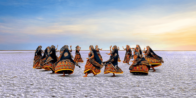
KUTCH
Gujarat is the western most state of India. It can be divided into four geographical regions: the first and second are the northern and southern halves of tne Gujarat plain, a well-defined corridor of alluvium; a third is the peninsular of Saurashtra (also known as Kathiawad); the fourth is Kutch.
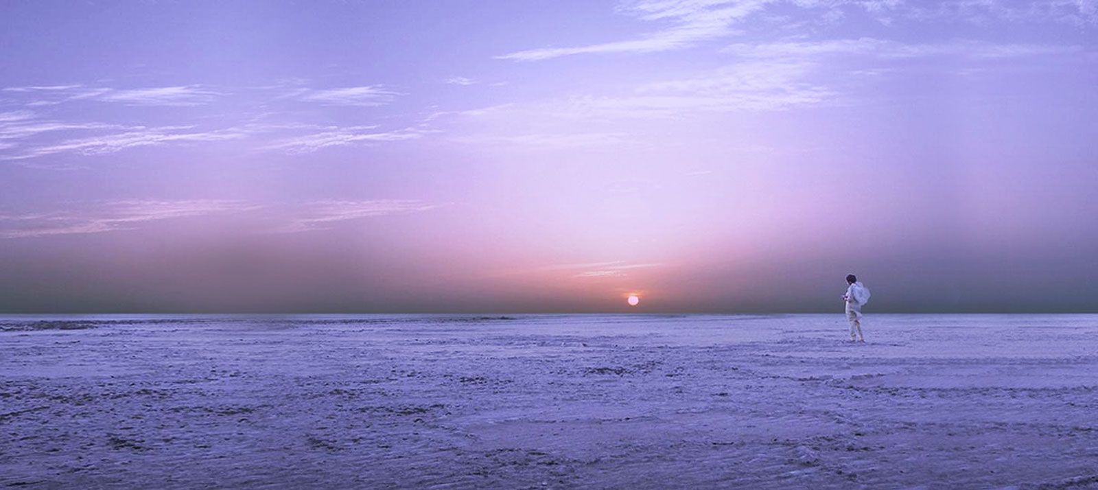
Kutch is bounded to the north/north-west by Sindh (Pakistan); to the north-east by Rajasthan; to the east by the districts ofBanaskantha and Mehsana; to the south-east by Surendranagar district; to the south by the Gulf of Kutch; and to the south-west and west by the Arabian.Sea. It is has a land area of 21120 sq. km. and includes a further 21368 sq. km. of the two Ranns [Kutch Gazetteer 1971]. Kutch takes its name from its topographical features, which resemble a tortoise (kacchbo). The outcrops of Kutch face the sea to the southwest, wiiile in all other directions they are bordered by salt flats, the Ranns, an alluvial deposit of clay and sand. The semi-fertile buffer between the mainland of Kutch and the Great Rann is known as ‘Banni’, and consists of a vast sandy loam tract, flat and thinly populated.