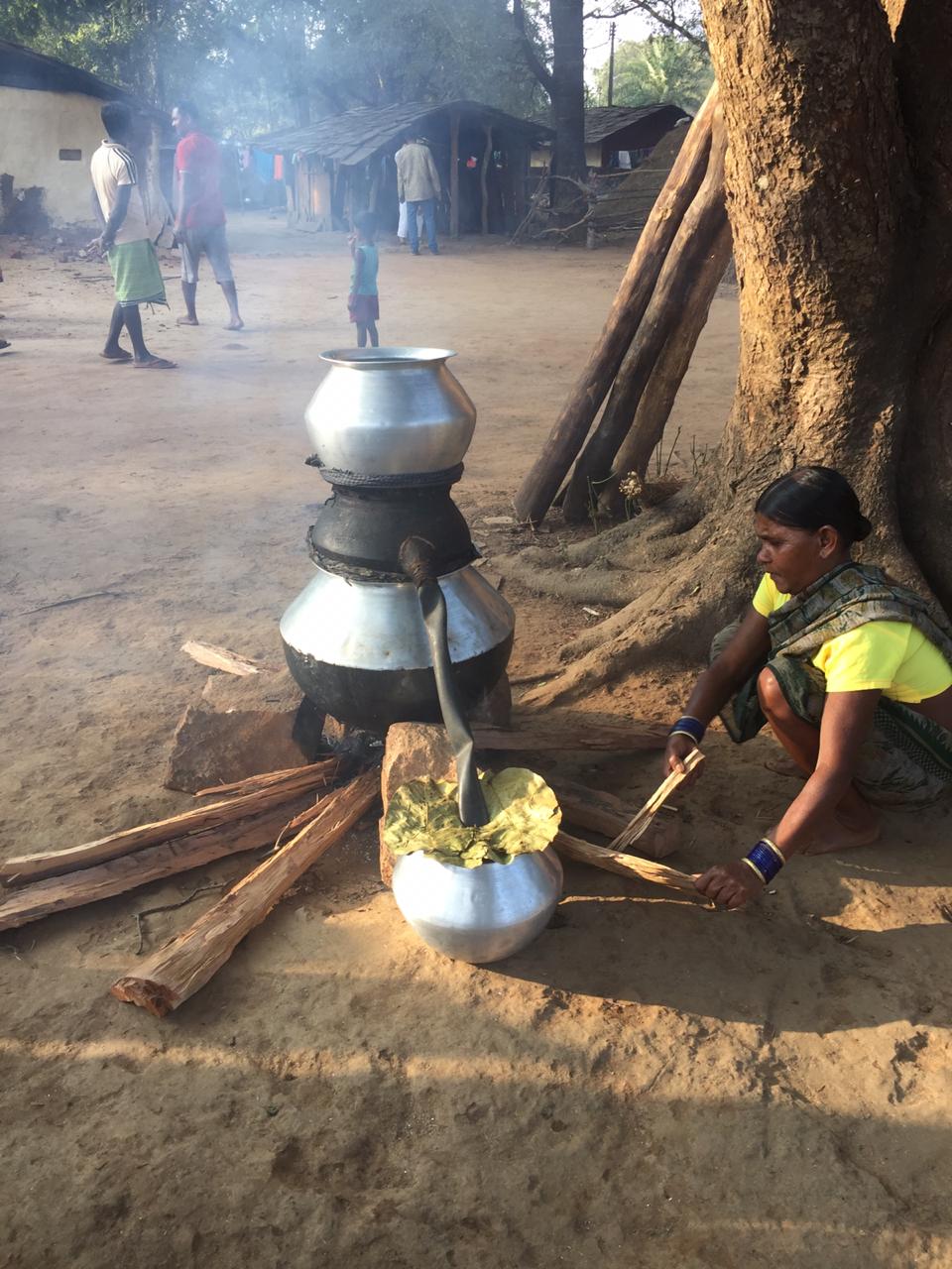
Chhattisgarh is home to many tribes. In fact, the state has India’s oldest tribal communities, and it is safe to assume that the earliest tribals have been living in Bastar for over 10,000 years, since the time the Aryans occupied the Indian mainland and the rich plains became (a) war-infested and (b) de-forested for agriculture.
The main tribes in Chhattisgarh are:
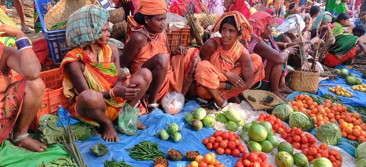
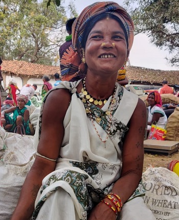
Bastar – Gond, Abujmaria , Bisonhorn Maria, Muria, Halba, Bhatra, Parja, Dhurvaa Dantewara – Muriya, Dandami Mariya or Gond, Dorla, Halba Koriya – Kol, Gond, Bhunjia Korba – Korwa, Gond, Rajgond, Kawar, Bhaiyana, Binjwar, Dhanwar Bilaspur and Raipur – Parghi, Savra, Manji, Bhayna Gariabandh, Mainpur, Dhura, Dhamtari – Kamar Surguja and Jashpur – Munda
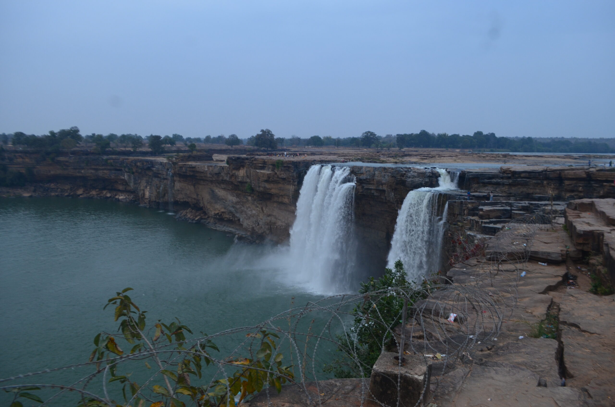
Chhattisgarh contains the source of one of the most important rivers of the South Asian peninsula—the Mahanadi. This river originates in a village near Raipur. It flows westward for about 125 miles (200 kms) and meets the Shivnath River about 8 miles (13 kms) from Bilaspur. Thereafter it flows toward the east and enters Odisha, ultimately emptying into the Bay of Bengal. Among the other rivers that drain Chhattisgarh are the Indravati, Arpa and Pairi.
This newest state is located on the oldest rocks of the Indian subcontinent. Here one can find the Archaean granites and gneisses and the Gondwana formations dating back to 250-300 million years bearing coal deposits. Also can be found an old Deccan Trap, formed from volcanic basalt flows capped with laterite that dates back to 65 million years. About 100 miles (160 kms) wide, the Chhattisgarh plain is bounded by the Chota Nagpur plateau to the north, the Maikal range to the west, the hills of Raigarh to the northeast, the Raipur upland to the southeast and the Bastar plateau to the south. These highlands comprise mostly erosional plateau forms reaching an elevation of more than 2,300 feet (700 metres) in the Maikal range and the Dandakaranya hills. The Maikal hills coincide the Vindhyas and the Satpura, extending 1430 sq kms. Its elevation is highest at Lafagarh standing tall at 1067 m, 75 kms north of Bilaspur. On the north-east and the Raipur uplands to the south-east is the Raigarh hill. The plains run out in the formerly princely state of Kanker on the south, beyond which is the Keshkal ghats.
Chhattisgarh known as the rice bowl of India and is immensely rich in natural resources. There are dense forests on the south, Maikal Hills on the north-east and the River Mahanadi on the east. The biggest occupation providing sector to the state is agriculture. Chhattisgarh is also referred as the richest biodiversity habitats in the country and consist of several species of exotic flora and fauna and abundant nontimber forest products, with tremendous potential for value addition. Chhattisgarh is the tenth largest state in India and is also an important electricity and steel producing state of India.
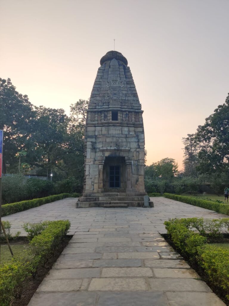
Outlined but it has been traced that Lord Ram stayed here during his exile days and the region was referred as Dakshin Koshala in the ancient times. During the Mughal reign, it was called the Ratanpur territory. Experts believed that various versions of the name Chhattisgarh including ‘Chattighar’, and ‘Chedisghar’ came into being, owing to the heavy influence of the caste system in those ages. The earliest clue from the historical era is an Ashokan stone inscription of 257 BC at Rupnath north of Jabalpur. But regardless to all this, the unbroken history of Chhattisgarh or South Koshala can be traced back only from the 4th century AD. Between the 6th and 12th centuries AD the Sarabhpurias, Panduvanshi, Somvanshi, Kalchuri and Nagvanshi rulers dominated this region. In the medieval period, the region came to be known as Gondwana and became the part of the kingdom of the Kalchuris who ruled the region till the end of the 18th century AD. The Muslim chroniclers of the 14th century AD have described well about the dynasties that ruled over the region. The region also came under the suzerainty of the Mughal Empire around the 16th century and later to the Marathas in 1745. The first ruler of state was the Satavahanas, who have ruled during the 2nd – 4th century AD. The Satvahana king Mahendra was defeated by Samudragupta in 4th century AD. The next ruler who ruled the region was the Panduvanshi whose king Mahashivagupta Balarjuna is famous for freeing his country. It was during 595-655 AD, during his reign Hieun Tsang visited Dakshin Koshala. During his visit, he wrote, ‘This country was more than 6000 li (3000000 m) in circuit and was surrounded by mountains and was a succession of woods and marshes, its capital being above 40 li (1li equals approx 500m) in circuit. The soil of the country was rich and fertile, the people were prosperous, the king was a Kshatriya by birth, a Buddhist in religion and of noted benevolence.’